N24 North 24 - Earthquake Result Viewer
Earthquake location: Near East Coast Of Kamchatka
Earthquake latitude/longitude: 51.2/157.6
Earthquake time(UTC): 1999/09/18 (261) 21:28:33 GMT
Earthquake Depth: 60 km
Earthquake Magnitude: 5.9 MB, 5.6 MS, 6.2 MW, 6.0 MW
Earthquake Catalog/Contributor: WHDF/NEIC
Network: XK CDROM (Colorado)
Station: N24 North 24
Lat/Lon: 40.21 N/106.78 W
Elevation: 2421 m
Distance: 63.1 deg
Az: 58.702 deg
Baz: 315.421 deg
Ray Param: 0.059651073
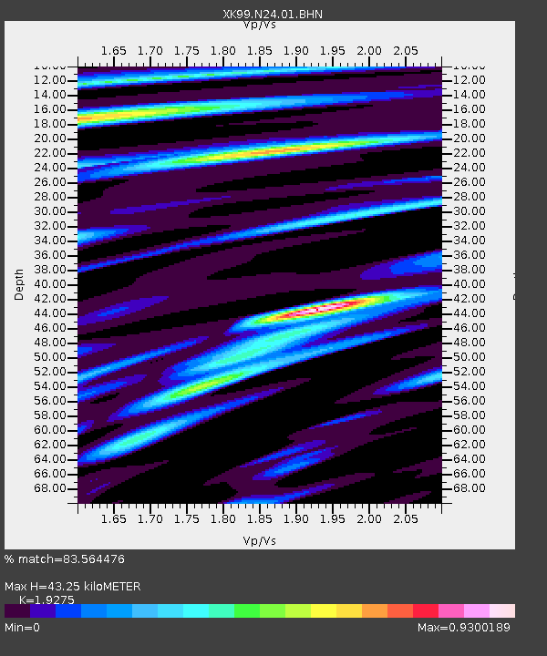
Estimated Moho Depth: 43.25 km
Estimated Crust Vp/Vs: 1.93
Assumed Crust Vp: 6.159 km/s
Estimated Crust Vs: 3.195 km/s
Estimated Crust Poisson's Ratio: 0.32
Radial Match: 83.564476 %
Radial Bump: 400
Transverse Match: 75.763054 %
Transverse Bump: 400
SOD ConfigId: 287362
Insert Time: 2010-03-09 22:43:17.227 +0000
GWidth: 2.5
Max Bumps: 400
Tol: 0.001

Signal To Noise

ChannelStoNSTALTA
XK:N24:01:BHN:19990918T21:38:23.773027Z3.0739334.0127708E-71.3054192E-7
XK:N24:01:BHE:19990918T21:38:23.773027Z2.48377423.643196E-71.4667984E-7
XK:N24:01:BHZ:19990918T21:38:23.773027Z12.7362531.4046284E-61.1028584E-7
Arrivals
Ps6.8 SECOND
PpPs20 SECOND
PsPs/PpSs27 SECOND