S01 South 01 - Earthquake Result Viewer
Earthquake location: Kodiak Island Region, Alaska
Earthquake latitude/longitude: 57.4/-154.5
Earthquake time(UTC): 1999/12/07 (341) 00:19:49 GMT
Earthquake Depth: 41 km
Earthquake Magnitude: 6.5 MB, 6.1 MS, 6.4 MW, 6.3 ML
Earthquake Catalog/Contributor: WHDF/NEIC
Network: XK CDROM (Colorado)
Station: S01 South 01
Lat/Lon: 37.24 N/105.46 W
Elevation: 2405 m
Distance: 37.8 deg
Az: 100.617 deg
Baz: 318.13 deg
Ray Param: 0.07582316
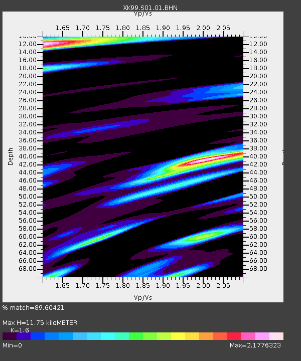
Estimated Moho Depth: 11.75 km
Estimated Crust Vp/Vs: 1.60
Assumed Crust Vp: 6.316 km/s
Estimated Crust Vs: 3.947 km/s
Estimated Crust Poisson's Ratio: 0.18
Radial Match: 89.60421 %
Radial Bump: 400
Transverse Match: 87.048485 %
Transverse Bump: 400
SOD ConfigId: 287362
Insert Time: 2010-03-09 22:44:21.206 +0000
GWidth: 2.5
Max Bumps: 400
Tol: 0.001

Signal To Noise

ChannelStoNSTALTA
XK:S01:01:BHN:19991207T00:26:31.81401Z1.98755431.6516367E-68.309895E-7
XK:S01:01:BHE:19991207T00:26:31.81401Z1.97261361.21688E-66.1688723E-7
XK:S01:01:BHZ:19991207T00:26:31.81401Z5.6268683.0890853E-65.4898845E-7
Arrivals
Ps1.2 SECOND
PpPs4.5 SECOND
PsPs/PpSs5.7 SECOND