S11 South 11 - Earthquake Result Viewer
Earthquake location: Near East Coast Of Kamchatka
Earthquake latitude/longitude: 51.2/157.6
Earthquake time(UTC): 1999/09/18 (261) 21:28:33 GMT
Earthquake Depth: 60 km
Earthquake Magnitude: 5.9 MB, 5.6 MS, 6.2 MW, 6.0 MW
Earthquake Catalog/Contributor: WHDF/NEIC
Network: XK CDROM (Colorado)
Station: S11 South 11
Lat/Lon: 36.34 N/105.28 W
Elevation: 2663 m
Distance: 66.7 deg
Az: 60.71 deg
Baz: 317.196 deg
Ray Param: 0.05729518
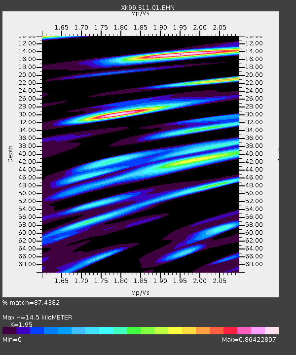
Estimated Moho Depth: 14.5 km
Estimated Crust Vp/Vs: 1.95
Assumed Crust Vp: 6.316 km/s
Estimated Crust Vs: 3.239 km/s
Estimated Crust Poisson's Ratio: 0.32
Radial Match: 87.4382 %
Radial Bump: 400
Transverse Match: 65.54279 %
Transverse Bump: 400
SOD ConfigId: 287362
Insert Time: 2010-03-09 22:47:49.829 +0000
GWidth: 2.5
Max Bumps: 400
Tol: 0.001

Signal To Noise

ChannelStoNSTALTA
XK:S11:01:BHN:19990918T21:38:47.115007Z2.04698354.1059735E-72.0058656E-7
XK:S11:01:BHE:19990918T21:38:47.115007Z2.55099423.4623196E-71.3572432E-7
XK:S11:01:BHZ:19990918T21:38:47.115007Z10.2690851.4248284E-61.387493E-7
Arrivals
Ps2.3 SECOND
PpPs6.5 SECOND
PsPs/PpSs8.8 SECOND