S19 South 19 - Earthquake Result Viewer
Earthquake location: Kodiak Island Region, Alaska
Earthquake latitude/longitude: 56.4/-152.9
Earthquake time(UTC): 1999/05/07 (127) 14:13:52 GMT
Earthquake Depth: 20 km
Earthquake Magnitude: 5.7 MB, 6.1 MS, 6.4 MW, 5.7 ME
Earthquake Catalog/Contributor: WHDF/NEIC
Network: XK CDROM (Colorado)
Station: S19 South 19
Lat/Lon: 35.60 N/105.18 W
Elevation: 1977 m
Distance: 38.2 deg
Az: 102.474 deg
Baz: 318.256 deg
Ray Param: 0.075694524
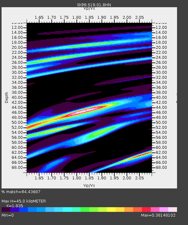
Estimated Moho Depth: 45.0 km
Estimated Crust Vp/Vs: 1.84
Assumed Crust Vp: 6.419 km/s
Estimated Crust Vs: 3.498 km/s
Estimated Crust Poisson's Ratio: 0.29
Radial Match: 94.43687 %
Radial Bump: 245
Transverse Match: 84.55684 %
Transverse Bump: 400
SOD ConfigId: 287362
Insert Time: 2010-03-09 22:51:07.956 +0000
GWidth: 2.5
Max Bumps: 400
Tol: 0.001

Signal To Noise

ChannelStoNSTALTA
XK:S19:01:BHN:19990507T14:20:39.585006Z2.54697251.5090824E-75.9250045E-8
XK:S19:01:BHE:19990507T14:20:39.585006Z1.68438741.16753114E-76.931488E-8
XK:S19:01:BHZ:19990507T14:20:39.585006Z4.886773.6345907E-77.437614E-8
Arrivals
Ps6.3 SECOND
PpPs19 SECOND
PsPs/PpSs25 SECOND