STOR Point of Stoer - Earthquake Result Viewer
Earthquake location: Taiwan Region
Earthquake latitude/longitude: 24.0/122.7
Earthquake time(UTC): 2001/12/18 (352) 04:02:58 GMT
Earthquake Depth: 14 km
Earthquake Magnitude: 6.3 MB, 7.3 MS, 6.9 MW, 6.8 MW
Earthquake Catalog/Contributor: WHDF/NEIC
Network: XK Reflections under the Scottish Highlands
Station: STOR Point of Stoer
Lat/Lon: 58.24 N/5.38 W
Elevation: 111 m
Distance: 87.5 deg
Az: 335.379 deg
Baz: 46.1 deg
Ray Param: 0.043288603
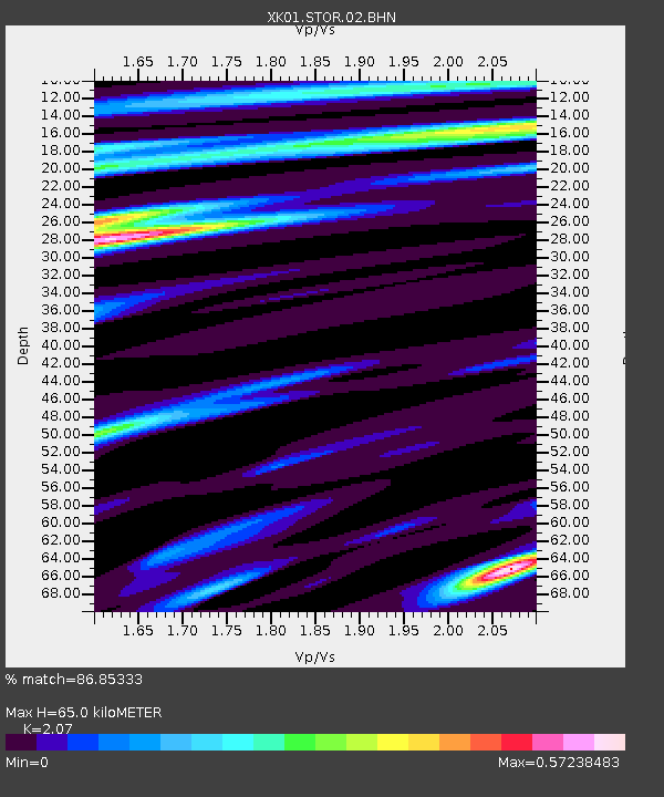
Estimated Moho Depth: 65.0 km
Estimated Crust Vp/Vs: 2.07
Assumed Crust Vp: 6.24 km/s
Estimated Crust Vs: 3.014 km/s
Estimated Crust Poisson's Ratio: 0.35
Radial Match: 86.85333 %
Radial Bump: 400
Transverse Match: 74.52459 %
Transverse Bump: 400
SOD ConfigId: 16820
Insert Time: 2010-03-09 23:02:16.635 +0000
GWidth: 2.5
Max Bumps: 400
Tol: 0.001

Signal To Noise

ChannelStoNSTALTA
XK:STOR:02:BHN:20011218T04:15:13.772004Z3.1763746.393787E-72.0129201E-7
XK:STOR:02:BHE:20011218T04:15:13.772004Z1.8932175.865272E-73.0980453E-7
XK:STOR:02:BHZ:20011218T04:15:13.772004Z7.1557742.3824912E-63.3294666E-7
Arrivals
Ps11 SECOND
PpPs31 SECOND
PsPs/PpSs43 SECOND