UQSK XI.UQSK - Earthquake Result Viewer
Earthquake location: East Of Kuril Islands
Earthquake latitude/longitude: 43.8/149.2
Earthquake time(UTC): 1997/02/21 (052) 23:40:24 GMT
Earthquake Depth: 33 km
Earthquake Magnitude: 6.1 MB, 5.6 MS, 6.1 UNKNOWN, 6.1 MW
Earthquake Catalog/Contributor: WHDF/NEIC
Network: XI Saudi Arabia Broadband Array
Station: UQSK XI.UQSK
Lat/Lon: 25.79 N/42.36 E
Elevation: 950 m
Distance: 83.7 deg
Az: 299.739 deg
Baz: 44.19 deg
Ray Param: 0.045965623
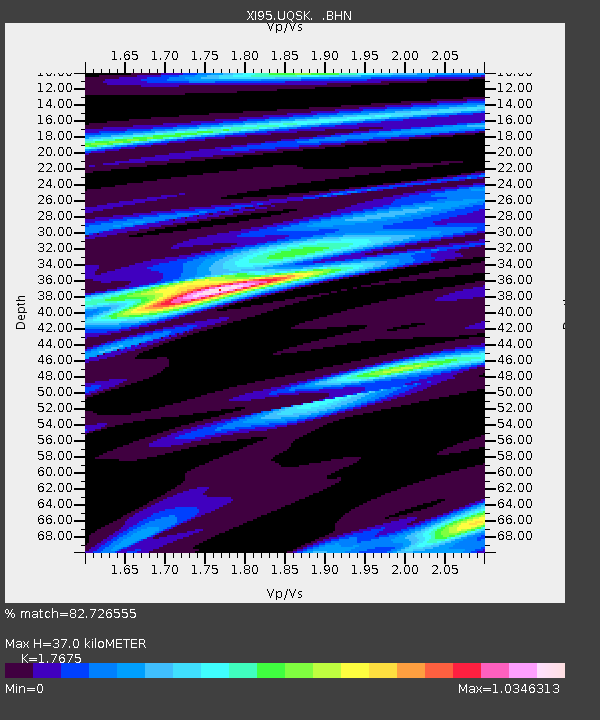
Estimated Moho Depth: 37.0 km
Estimated Crust Vp/Vs: 1.77
Assumed Crust Vp: 6.642 km/s
Estimated Crust Vs: 3.758 km/s
Estimated Crust Poisson's Ratio: 0.26
Radial Match: 82.726555 %
Radial Bump: 400
Transverse Match: 36.19581 %
Transverse Bump: 400
SOD ConfigId: 4480
Insert Time: 2010-03-09 23:44:36.955 +0000
GWidth: 2.5
Max Bumps: 400
Tol: 0.001

Signal To Noise

ChannelStoNSTALTA
XI:UQSK: :BHN:19970221T23:52:18.355005Z4.2279064.2349387E-71.0016633E-7
XI:UQSK: :BHE:19970221T23:52:18.355005Z4.30299435.929062E-71.3778921E-7
XI:UQSK: :BHZ:19970221T23:52:18.355005Z3.04382372.3534857E-77.732004E-8
Arrivals
Ps4.4 SECOND
PpPs15 SECOND
PsPs/PpSs19 SECOND