GOBA Goba - Earthquake Result Viewer
Earthquake location: Nicobar Islands, India Region
Earthquake latitude/longitude: 8.7/94.0
Earthquake time(UTC): 2001/03/15 (074) 01:22:43 GMT
Earthquake Depth: 33 km
Earthquake Magnitude: 5.6 MB, 5.9 MS, 6.0 MW, 6.0 MW
Earthquake Catalog/Contributor: WHDF/NEIC
Network: XI Ethiopia/Kenya Broadband Seismic Experiment
Station: GOBA Goba
Lat/Lon: 7.03 N/39.98 E
Elevation: 2732 m
Distance: 53.5 deg
Az: 272.352 deg
Baz: 84.445 deg
Ray Param: 0.06598566
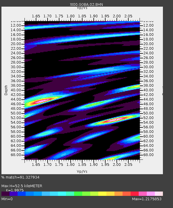
Estimated Moho Depth: 52.5 km
Estimated Crust Vp/Vs: 2.00
Assumed Crust Vp: 6.464 km/s
Estimated Crust Vs: 3.236 km/s
Estimated Crust Poisson's Ratio: 0.33
Radial Match: 91.327934 %
Radial Bump: 400
Transverse Match: 73.51279 %
Transverse Bump: 400
SOD ConfigId: 3744
Insert Time: 2010-03-09 23:48:37.714 +0000
GWidth: 2.5
Max Bumps: 400
Tol: 0.001

Signal To Noise

ChannelStoNSTALTA
XI:GOBA:02:BHN:20010315T01:31:30.062017Z0.55711233.956057E-87.101005E-8
XI:GOBA:02:BHE:20010315T01:31:30.062017Z1.44090336.609798E-84.58726E-8
XI:GOBA:02:BHZ:20010315T01:31:30.062017Z0.834256536.898415E-88.2689375E-8
Arrivals
Ps8.5 SECOND
PpPs23 SECOND
PsPs/PpSs32 SECOND