NEKE NEKEMTE - Earthquake Result Viewer
Earthquake location: South Indian Ocean
Earthquake latitude/longitude: -13.2/97.3
Earthquake time(UTC): 2001/09/07 (250) 02:45:59 GMT
Earthquake Depth: 10 km
Earthquake Magnitude: 6.2 MB, 5.8 MS, 6.0 MW, 5.9 MW
Earthquake Catalog/Contributor: WHDF/NEIC
Network: XI Ethiopia/Kenya Broadband Seismic Experiment
Station: NEKE NEKEMTE
Lat/Lon: 9.09 N/36.52 E
Elevation: 2080 m
Distance: 64.3 deg
Az: 286.909 deg
Baz: 109.329 deg
Ray Param: 0.059031498
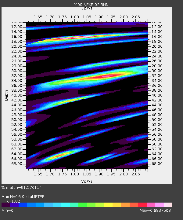
Estimated Moho Depth: 16.0 km
Estimated Crust Vp/Vs: 1.82
Assumed Crust Vp: 6.404 km/s
Estimated Crust Vs: 3.519 km/s
Estimated Crust Poisson's Ratio: 0.28
Radial Match: 91.570114 %
Radial Bump: 355
Transverse Match: 87.351166 %
Transverse Bump: 400
SOD ConfigId: 16820
Insert Time: 2010-03-09 23:50:34.835 +0000
GWidth: 2.5
Max Bumps: 400
Tol: 0.001

Signal To Noise

ChannelStoNSTALTA
XI:NEKE:02:BHN:20010907T02:56:03.156006Z0.849426871.03851036E-71.2226013E-7
XI:NEKE:02:BHE:20010907T02:56:03.156006Z0.91616371.0775267E-71.176129E-7
XI:NEKE:02:BHZ:20010907T02:56:03.156006Z0.437027043.708251E-88.4851756E-8
Arrivals
Ps2.1 SECOND
PpPs6.8 SECOND
PsPs/PpSs8.9 SECOND