SA18 XA.SA18 - Earthquake Result Viewer
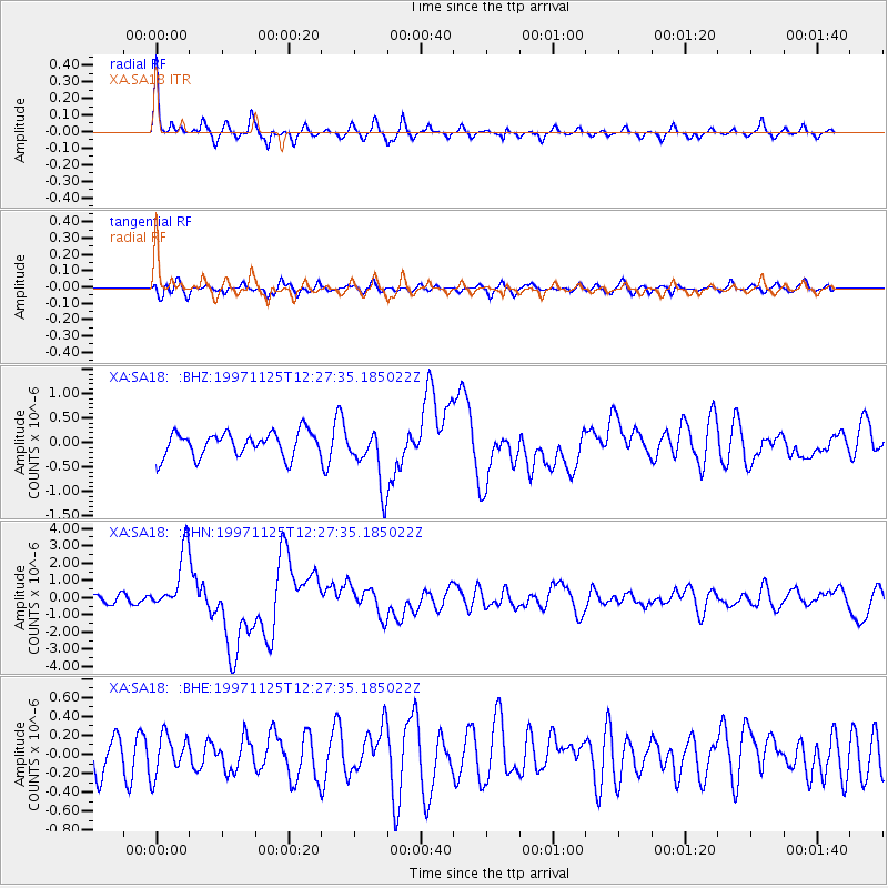
Earthquake location: Minahassa Peninsula, Sulawesi
Earthquake latitude/longitude: 1.2/122.5
Earthquake time(UTC): 1997/11/25 (329) 12:14:33 GMT
Earthquake Depth: 24 km
Earthquake Magnitude: 6.1 MB, 6.8 MS, 7.1 UNKNOWN, 6.7 ME
Earthquake Catalog/Contributor: WHDF/NEIC
Network: XA Anatomy of an Archean Craton, South Africa
Station: SA18 XA.SA18
Lat/Lon: 28.63 S/24.31 E
Elevation: 1102 m
Distance: 97.8 deg
Az: 241.422 deg
Baz: 92.853 deg
Ray Param: 0.04008795
Estimated Moho Depth: 16.25 km
Estimated Crust Vp/Vs: 1.84
Assumed Crust Vp: 6.459 km/s
Estimated Crust Vs: 3.52 km/s
Estimated Crust Poisson's Ratio: 0.29
Radial Match: 82.30404 %
Radial Bump: 304
Transverse Match: 50.05532 %
Transverse Bump: 400
SOD ConfigId: 4480
Insert Time: 2010-02-26 18:04:53.382 +0000
GWidth: 2.5
Max Bumps: 400
Tol: 0.001

Signal To Noise

ChannelStoNSTALTA
XA:SA18: :BHN:19971125T12:27:35.185022Z4.4797221.7605634E-63.9300727E-7
XA:SA18: :BHE:19971125T12:27:35.185022Z0.80433182.0753583E-72.5802268E-7
XA:SA18: :BHZ:19971125T12:27:35.185022Z2.41504245.951108E-72.4641838E-7
Arrivals
Ps2.1 SECOND
PpPs7.0 SECOND
PsPs/PpSs9.1 SECOND