A07 Long Canyon - Earthquake Result Viewer
Earthquake location: South Of Mariana Islands
Earthquake latitude/longitude: 12.5/141.5
Earthquake time(UTC): 2010/08/13 (225) 21:19:33 GMT
Earthquake Depth: 10 km
Earthquake Magnitude: 6.5 MB, 6.9 MS, 6.9 MW, 6.9 MW
Earthquake Catalog/Contributor: WHDF/NEIC
Network: YX Flexarray 3D Passive Seismic Imaging of Core-Complex Extension in the Ruby Range Nevada
Station: A07 Long Canyon
Lat/Lon: 40.56 N/115.53 W
Elevation: 1917 m
Distance: 91.6 deg
Az: 47.96 deg
Baz: 287.821 deg
Ray Param: 0.04158237
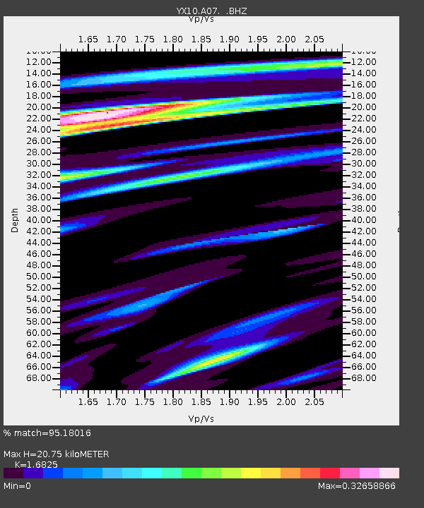
Estimated Moho Depth: 20.75 km
Estimated Crust Vp/Vs: 1.68
Assumed Crust Vp: 6.276 km/s
Estimated Crust Vs: 3.73 km/s
Estimated Crust Poisson's Ratio: 0.23
Radial Match: 95.18016 %
Radial Bump: 400
Transverse Match: 82.92217 %
Transverse Bump: 400
SOD ConfigId: 319893
Insert Time: 2011-01-05 21:37:46.734 +0000
GWidth: 2.5
Max Bumps: 400
Tol: 0.001

Signal To Noise

ChannelStoNSTALTA
YX:A07: :BHZ:20100813T21:32:08.605015Z12.9922455.6513994E-74.349825E-8
YX:A07: :BHN:20100813T21:32:08.605015Z0.77991374.1174644E-85.2793844E-8
YX:A07: :BHE:20100813T21:32:08.605015Z3.43571471.8791421E-75.4694357E-8
Arrivals
Ps2.3 SECOND
PpPs8.7 SECOND
PsPs/PpSs11 SECOND