BAG 7aguio, Philippines - Earthquake Result Viewer
Earthquake location: New Britain Region, P.N.G.
Earthquake latitude/longitude: -4.2/152.7
Earthquake time(UTC): 2000/12/06 (341) 22:57:40 GMT
Earthquake Depth: 31 km
Earthquake Magnitude: 6.1 MB, 6.6 MS, 6.6 MW, 6.2 ME
Earthquake Catalog/Contributor: WHDF/NEIC
Network: PS Pacific21
Station: BAG 7aguio, Philippines
Lat/Lon: 16.41 N/120.58 E
Elevation: 1507 m
Distance: 37.8 deg
Az: 303.609 deg
Baz: 120.069 deg
Ray Param: 0.07586176
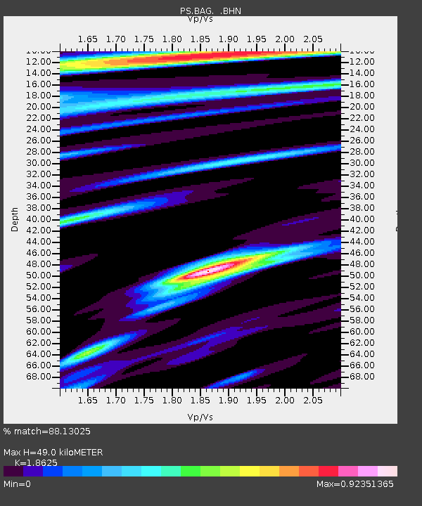
Estimated Moho Depth: 49.0 km
Estimated Crust Vp/Vs: 1.86
Assumed Crust Vp: 6.468 km/s
Estimated Crust Vs: 3.473 km/s
Estimated Crust Poisson's Ratio: 0.30
Radial Match: 88.13025 %
Radial Bump: 400
Transverse Match: 82.20445 %
Transverse Bump: 400
SOD ConfigId: 20082
Insert Time: 2010-02-27 02:54:25.986 +0000
GWidth: 2.5
Max Bumps: 400
Tol: 0.001

Signal To Noise

ChannelStoNSTALTA
PS:BAG: :BHN:20001206T23:04:23.149009Z1.26951876.891141E-75.428152E-7
PS:BAG: :BHE:20001206T23:04:23.149009Z1.2817818.676498E-76.7690956E-7
PS:BAG: :BHZ:20001206T23:04:23.149009Z7.91544962.929765E-63.7013248E-7
Arrivals
Ps7.0 SECOND
PpPs20 SECOND
PsPs/PpSs27 SECOND