
Station TA 541A - Lake Charles, LA, USA
Network: TA - USArray Transportable Network (new EarthScope stations)
Nearby stations (2 deg radius)
| Station | Name | (Lat, Lon) | Start / End | Elevation |
| 541A | Lake Charles, LA, USA | (30.06, -93.19) | 2011-02-26 / 2599-12-31 | 0.0 m |
| Crust2 Type: | DM,thin Platform 10 km seds. |
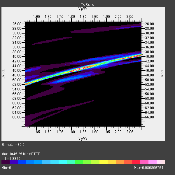
| Thickness Estimate: | 45 km |
| Thickness StdDev: | 8.1 km |
| Vp/Vs Estimate: | 1.83 |
| Vp/Vs StdDev: | 0.11 |
| Vs Estimate: | 3.31 km/s |
| Poisson's Ratio: | 0.29 |
| Peak Value: | 0.08 |
| Assumed Vp: | 6.065 km/s |
| Ps Weight: | 0.33333334 |
| PpPs Weight: | 0.33333334 |
| PsPs Weight: | 0.33333328 |
| Residual Complexity: | 0.611 |
| Nearby stations H: | +- |
| (2.0 deg) Vp/Vs: | +- |
1 with match > 90% ( 50.0 %) and 2 with match > 80% ( 100.0 %) out of 2.
Download stack as xyz text file.
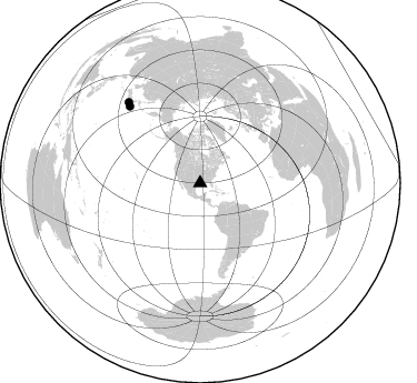
Azimuth Distribution of Events:
Prior Results for this Station
| Study | Thickness | Vp/Vs | Vp | Vs | Poissons Ratio | Extra |
| EARS | 45 km | 1.83 | 6.065 km/s | 3.31 km/s | 0.29 | |
| Crust2.0 | 34 km | 1.78 | 6.065 km/s | 3.412 km/s | 0.27 | DM,thin Platform 10 km seds. |
| Global Maxima | 45 km | 1.83 | 6.065 km/s | 3.31 km/s | 0.29 | amp=0.080869794 |
| Local Maxima 1 | 40 km | 2.06 | 6.065 km/s | 2.94 km/s | 0.35 | amp=0.06685986 |
| Local Maxima 2 | 52 km | 1.60 | 6.065 km/s | 3.79 km/s | 0.18 | amp=0.06074488 |
| Local Maxima 3 | 49 km | 1.69 | 6.065 km/s | 3.589 km/s | 0.23 | amp=0.01914956 |
| Local Maxima 4 | 43 km | 1.91 | 6.065 km/s | 3.175 km/s | 0.31 | amp=0.006816303 |
| Predicted Arrivals for vertical incidence (zero ray parameter) | |
| Ps | 6.21 SECOND |
| PpPs | 21.13 SECOND |
| PsPs/PpSs | 27.35 SECOND |
Events Processed for this Station
Download zip of receiver functions as SAC
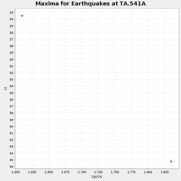
Plot maxima for each earthquake.
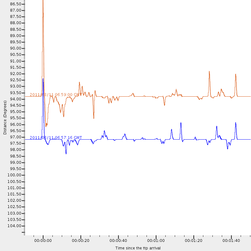
Events Used in the Stack
(2 events)| Radial Match | Distance | Baz | FERegion | Time | Lat/Lon | Depth | Magnitude |
| 91.05687 | 93.8 deg | 317.424 deg | Off East Coast Of Honshu, Japan | 2011/03/11 06:59:00 GMT | (37.4, 144.7) | 36 km | 6.3 MB |
| 80.95118 | 97.1 deg | 318.389 deg | Near East Coast Of Honshu, Japan | 2011/03/11 06:57:16 GMT | (35.7, 140.9) | 48 km | 6.0 MB |
Losers
(0 events)| Radial Match | Distance | Baz | FERegion | Time | Lat/Lon | Depth | Magnitude | Reason |
